
Most traditional relationship keepsakes operate on an outdated premise: that you met in your hometown, attended the same high school, and settled down three miles from where you grew up. Modern partnerships rarely unfold inside a single zip code. Today’s relationships are shaped by university exchange semesters, cross-country corporate relocations, graduate school sublets, and passport stamps. When your shared history stretches across three, four, or five different skylines, a single-city print leaves out the chapters that actually forged your dynamic.
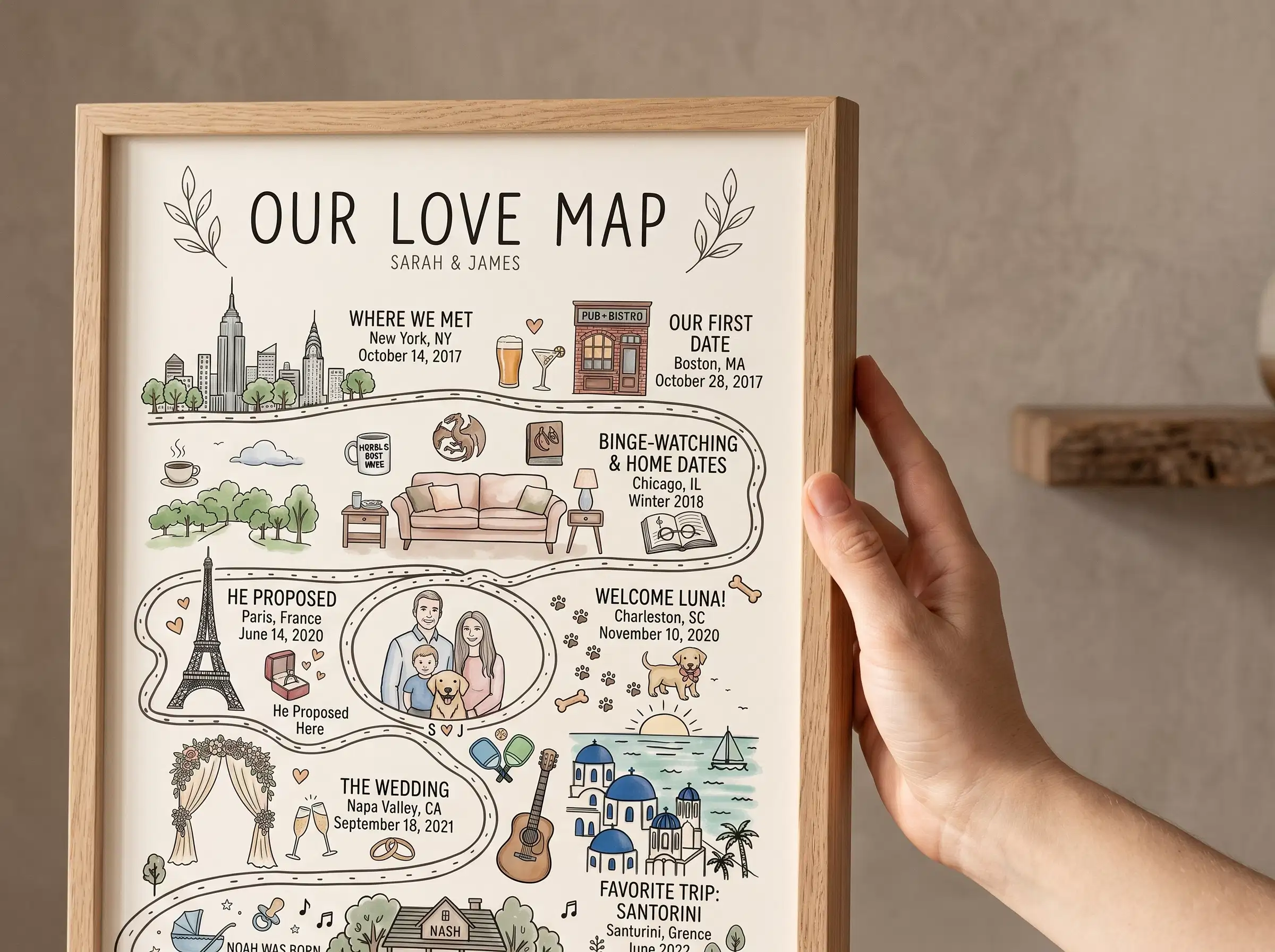
Searching for meaningful gifts for couples who lived in different cities often leads to generic travel scratch-off posters or kitschy split-state wall plaques. But living in a city is not the same as checking a tourist box on a bucket list. You lived on specific avenues, memorized local subway lines, and walked particular neighborhood blocks. A bespoke multi location couple map unites those distant coordinates into one coherent piece of architectural art, honoring where two independent paths began alongside every city you conquered as a team.
From Montreal to Sedona: A Multi-City Design Challenge
Last spring, a customer named Nina reached out to our studio to create an anniversary piece for her partner, Alex. Over seven years, their journey had spanned five distinct geographic chapters: they met as exchange students in Montreal, spent two years commuting between Chicago and Austin, got engaged while hiking in the red-rock desert of Sedona, Arizona, and finally bought their first home together in Portland, Oregon.
Nina had attempted to build this on an automated map generation website, but the digital preview looked completely discordant. Because the automated software pulled identical fixed-radius crops, Montreal and Chicago appeared as heavy, pitch-black tangles of dense gridlines, while Sedona looked like an empty gray square with a single highway line cutting through the middle. Worse, an automated highway label dropped squarely over the downtown Montreal intersection where they had shared their first apartment.
Maya and Daniel brought Nina’s five milestones onto their design board to resolve the optical weight. For Sedona, Maya pulled the elevation back to frame the natural canyon contours and surrounding topography, giving the open landscape intentional graphic structure. For Chicago and Montreal, Daniel pulled the crops tighter into the specific neighborhoods—Lincoln Park and the Plateau—balancing street densities with lakefront and mountain negative space. Below each panel, Maya set clean typographic baselines denoting the chapter names, years lived, and exact coordinates.
Nina emailed us after unveiling the print: “Most people look at our resumes and see chaotic moving boxes. When Alex saw this map, he saw our life. Every city finally looked like it belonged to the same story.”
The Optical Density Trap: Why Multi-City Art Requires Human Curation
Placing three to six distinct geographic regions onto a single sheet of art presents a visual problem that automated code cannot solve. No two regions on earth share identical cartographic textures.
When software automatically drops pins across multiple cities, it creates visual friction:
- Inconsistent Visual Weight: A dense 19th-century European street network absorbs massive amounts of dark ink, while a modern grid in the American Southwest appears faint and sparse under the same zoom ratio.
- Label Collisions: Automated databases routinely place arterial road shields directly over the sentimental addresses where you actually lived.
- Disjointed Narrative Flow: Without manual alignment, multi-panel pieces look like a collage of unrelated screenshots clipped from a phone navigation screen.
In our studio, we solve this through manual scale calibration. We balance the visual density of every panel so an international capital, a coastal beach town, and a quiet residential suburb speak with equal clarity side by side on your wall.
Map Your Multi-City Journey in One Cohesive Print
Unite three to six defining destinations on museum-grade archival paper, hand-composed by our cartographic designers with proofs in 24 hours.
Customize Our Love MapCurating 3 to 6 Geographic Chapters Without Visual Clutter
Selecting which destinations to feature on a multi city love story map requires thoughtful editing. Attempting to fit ten or twelve cities on one print compresses the individual street grids, erases neighborhood character, and clutters the typography. We find that three to six locations offer the ideal balance between thorough storytelling and disciplined gallery aesthetics.
Most couples structure their multi-city narrative chronologically:
- The Origin Ground: Where your independent lives started, or the university town where you first crossed paths.
- The Relocation Years: The cities you navigated for graduate school, military service, or early career opportunities.
- The Milestone Destination: The remote trail where a proposal occurred, or the city where you exchanged vows. For couples seeking a structured timeline format, our Relationship Milestone Map organizes each milestone date alongside coordinates.
- The Current Anchor: The permanent neighborhood where your daily life happens today.
If your journey began with years of living in separate states before finally closing the gap under one roof, our dedicated Long Distance Love Map highlights that specific geographic convergence.
The 24-Hour Digital Proof: Total Verification Across Every Zip Code
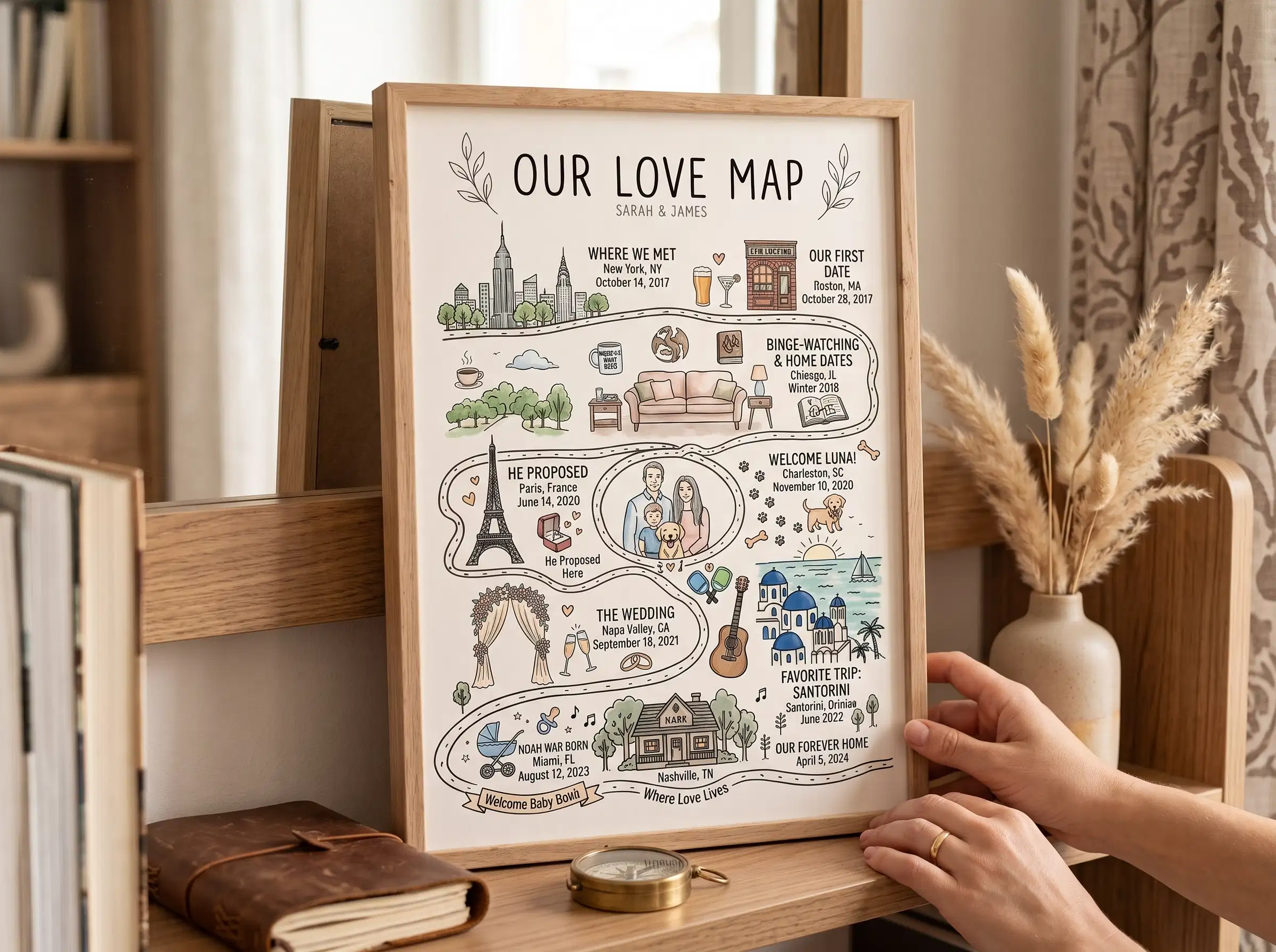
When you are coordinating four or five different locations across multiple states or foreign countries, accuracy is critical. An automated service that drops coordinates blindly onto a template offers zero human recourse if an apartment marker lands in a commercial warehouse district or if a foreign city name has an awkward line break.
In our studio, Maya and Daniel manually review every single destination on your list. We cross-reference your street addresses, balance the surrounding neighborhood viewports, and typeset your custom dates and headlines by hand. Within 24 hours of placing your order, a high-resolution digital proof is delivered directly to your email inbox.
You can zoom in on your phone, verify every street boundary, check the coordinate typography, and confirm spelling. If you want a panel shifted to show a nearby lake or need a date adjusted, we provide unlimited free revisions. Daniel does not send the file to our archival presses until you have personally reviewed and approved the design.
Frequently Asked Questions
Can we combine international destinations and domestic US towns on the same print?
Yes. Many couples have chapters scattered across different continents—such as meeting in London, moving to Boston, and getting engaged in Costa Rica. We access global cartographic databases to ensure that foreign street grids, coastlines, and character accents align in complete typographic harmony with domestic addresses.
How do you ensure a rural town looks balanced next to a dense metropolis?
Rather than using uniform automated zoom presets, our designers adjust the elevation of each panel manually. For rural locations or national parks, we incorporate surrounding natural features like rivers, coastlines, and mountain ridgelines to establish visual context, balancing them naturally against dense urban grids.
Can we customize the titles and subtitles beneath each city panel?
Every line of typography is fully customizable. Most couples include the milestone name (e.g., “The First Apartment” or “The Proposal”), the city and state, the years lived there, or exact geographic coordinates. Maya formats this text with balanced margins to keep the visual presentation clean and legible.
How quickly will my multi-city map arrive once approved?
Your digital design proof arrives within 24 hours of ordering. Once you review and approve the artwork, printing on archival matte paper and framing takes 2 to 3 business days, followed by domestic tracked shipping directly to your doorstep in reinforced protective packaging.
Written by Maya and Daniel, Co-Founders and Designers at Map of Our Story. Crafting bespoke milestone cartography since 2017.